Skip to content

optics

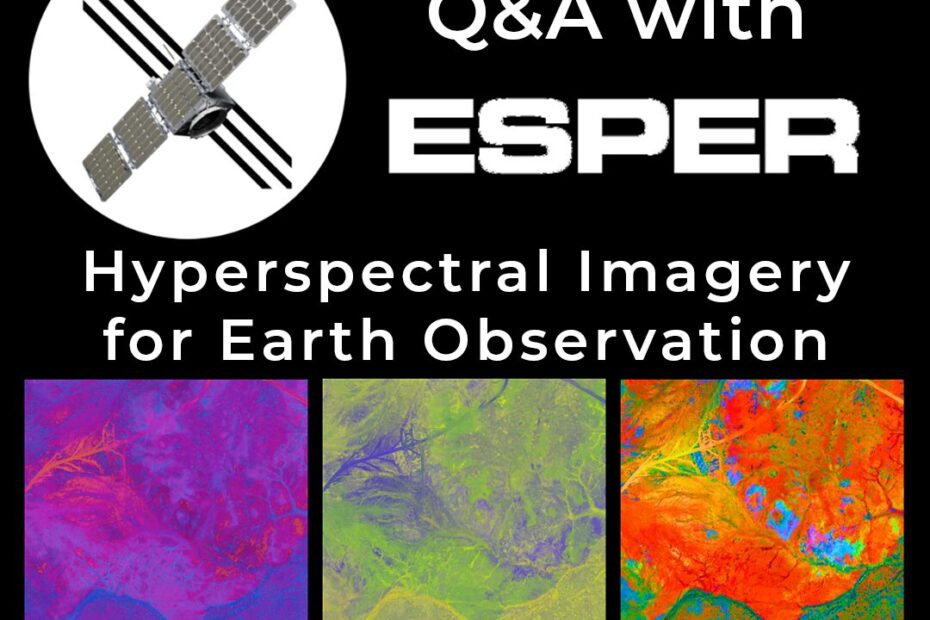
Q&A with Esper Satellites: Hyperspectral Imagery for Earth Observation

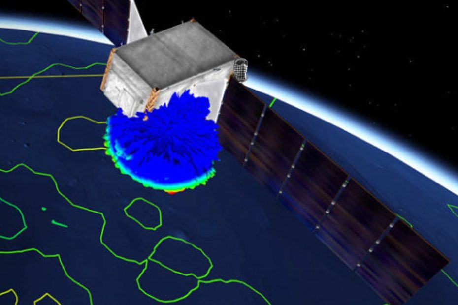
    Esper Satellite Imagery develops hyperspectral imaging sensors for low Earth orbit, delivering affordable, wide-spectrum data for agriculture, mining, and environmental monitoring. Their mission is to deploy 18+ sensors by 2028, providing global, high-frequency insights. LEAP sat down with Shoaib Iqbal, Co-founder and CEO of Esper Satellite Imagery to learn how Ansys simulation tools are helping Esper to achieve their goals.

    Helping EO/IR Sensors to accurately detect & track hypersonic vehicles

      Learn how recent developments in Ansys provide a new “optical CFD” workflow to help more accurately simulate the complex interactions between the flowfield and electromagnetic fields in the Electro-Optics / Infra-Red (EO/IR) range. This helps engineers to improve their simulations of flow field phenomena around fast-moving vehicles and improve the performance of EOIR sensor signals for tracking hypersonic vehicles.