
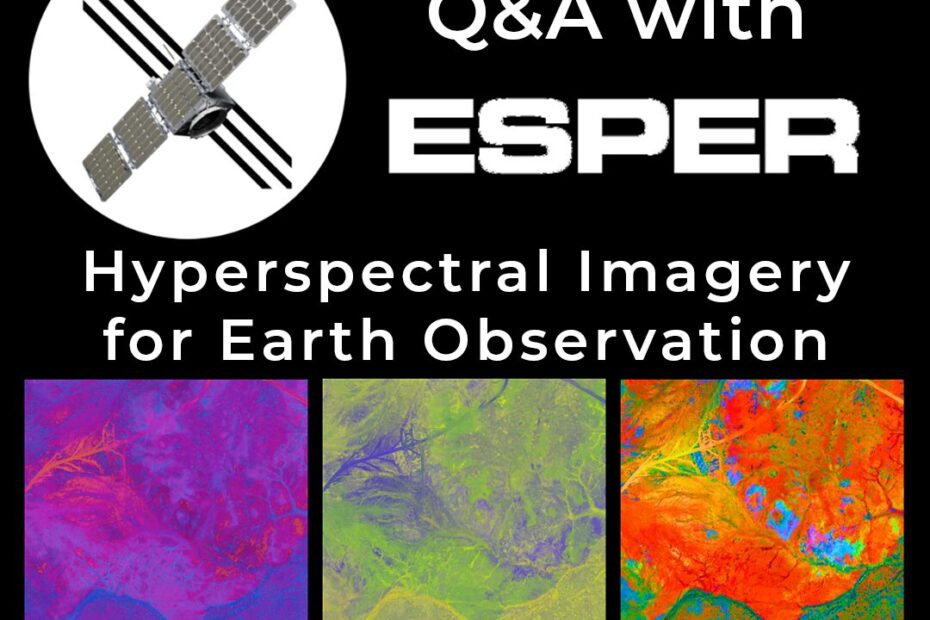
Q&A with Esper Satellites: Hyperspectral Imagery for Earth Observation
Esper Satellite Imagery develops hyperspectral imaging sensors for low Earth orbit, delivering affordable, wide-spectrum data for agriculture, mining, and environmental monitoring. Their mission is to… Read More »Q&A with Esper Satellites: Hyperspectral Imagery for Earth Observation